

Last Updated on October 5, 2026
The Isle of Skye’s wild and remote northern headland called Rubha Hunish is home to wild cliffs, a secret lookout bothy, and a plethora of wildlife.
Last summer, during my slow travels across the isle, I spent the better part of an afternoon walking out to explore Rubha Hunish, and it’s earned its place as one of Skye’s hidden gems.
This guide offers everything you need to know about the hike, including details on the light scrambling necessary to access the head land.
Please note that some links on my blog are affiliate links. If you choose to purchase through these links, I may receive a small commission at no extra cost to you. When What Do You Sea is supported in this way, you are helping me remain an independent travel blog where I can continue to create free and detailed guides. Read my full disclosure for more information.
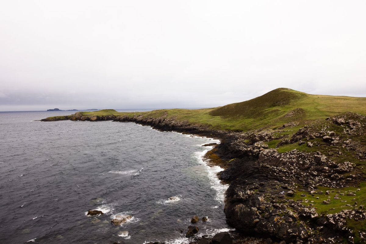
What is Rubha Hunish?
Rubha Hunish is the northernmost headland of the Isle of Skye with jagged basalt cliffs and expansive view over the Atlantic ocean.
I think it’s one of the most overlooked things to do on the Isle of Skye. Many people opt to visit nearby Duntulm Castle instead and drive right by this place.
It was one of the most memorable things I did during my trip, and it’s the perfect off-beat alternative to other popular hikes on Skye.
How to get to Rubha Hunish?
The head land can only be accessed on foot via an 8 km out-and-back hiking trail.
Hiking distances and times can vary depending on how far out you hike and whether or not you make a detour to the bothy as well (which you should).
Rubha Hunish on Google Maps is not properly marked. It says Rubha Hunish is where the bothy is (linked here), but that’s not true. It’s actually here (maps linked) at the edge of the peninsula.
Important safety notice for the hike
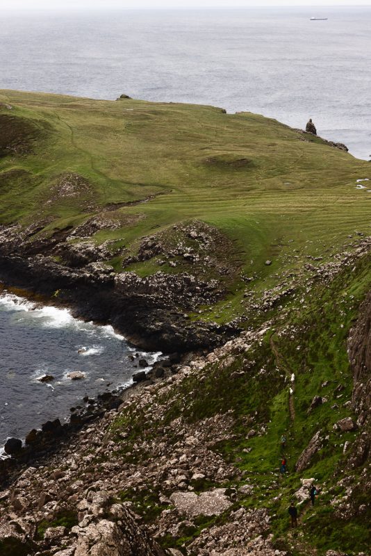
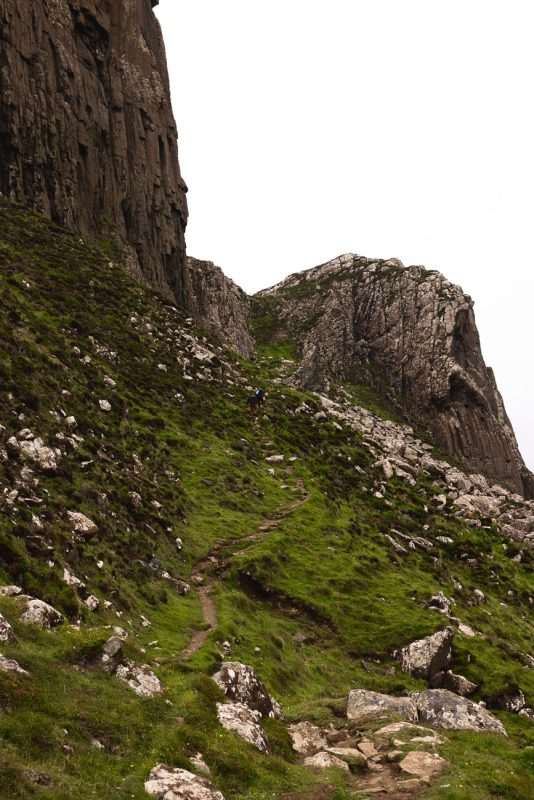
In order to access the exact Rubha Hunish point, you have to scramble down a damn near vertical cliff face.
If you’re not comfortable on steep, exposed ground, I don’t recommend attempting this. Instead, hike to the bothy. It’s much safer and I think the view is just as good, if not better, than the real Rubha Hunish. Click here to jump to my section about hiking the bothy.
If you’re comfortable and have proper experience, here’s what I thought about it:
I didn’t have any trouble getting up or down. It looks a lot worse than it actually is. I thought it would be more of a scramble, but it’s more like taking very long steps with some odd footholds. I only needed to use my hands once or twice.
If it’s raining outside, do not attempt to go down this route. The rocks can be extremely slippery when wet and this trail is not forgiving in the slightest if you lose your footing.
Rubha Hunish Walk at a glance
Distance: 8 km (5 miles); out-and-back
Difficulty: Moderate to challenging
Elevation gain: 125 m (410 feet)
Time: 2-4 hours; depending on how long you spend at the viewpoint or bothy. It took me 2 hours total with a bit of wandering.
Best time to visit: Sunrise or sunset for best light, but anytime of day is good. There aren’t usually heavy crowds
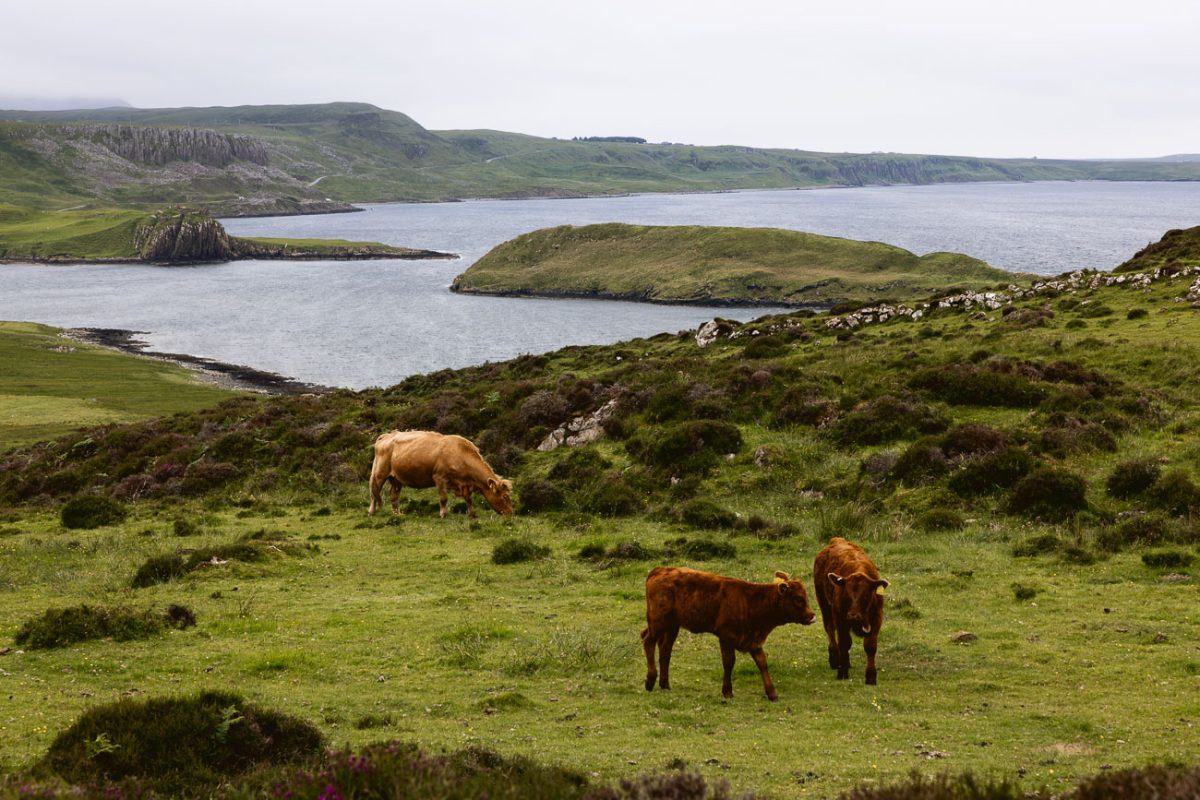
Notes: If it’s raining or has rained, the trail can be boggy and slippery in some areas so wear good waterproof shoes. Hairy coos graze near the last few kilometers of the trail, so be mindful and don’t get too close to them. If you have a dog, make sure they’re on a lead.
Facilities: There are no toilets or potable water at the trailhead or bothy.
Parking: Free (maps location)
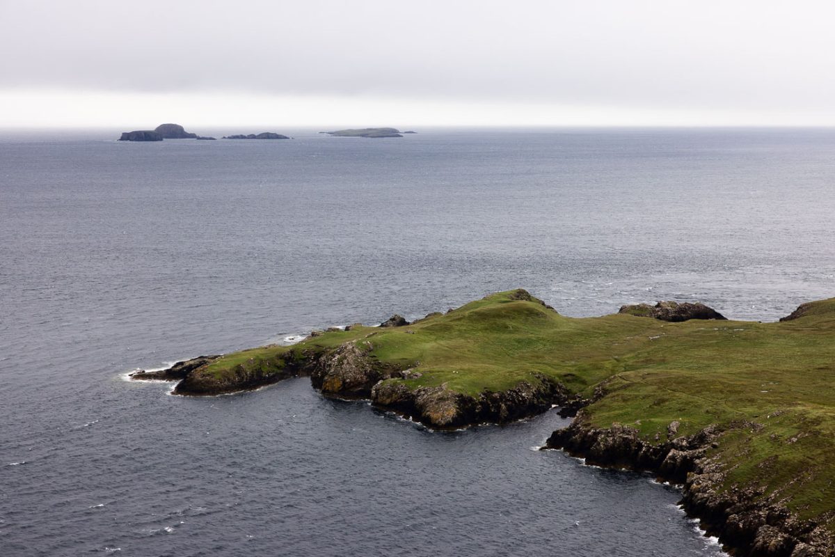
My experience hiking to Rubha Hunish
The hike to Rubha Hunish starts directly from the car park. You’ll walk across the cattle gate to your right and immediately turn left on a well-trodden path.
The start of the walk is fairly flat and straightforward throughout. The abandoned village of Erisco will come into view on the left hand side, as will distant views of Duntulm Castle on the nearby coastline.
This is the same path you’ll follow the entire way, so no need to worry about turns or forks along the route.
Follow the path and around the 3 km mark, you’ll come to a series of gates that sits between two hills, Meall Deas and Meall Tuath. This is the turning point in the hike where you’ll either continue straight to get to Rubha Hunish, or go right to hike to the bothy.
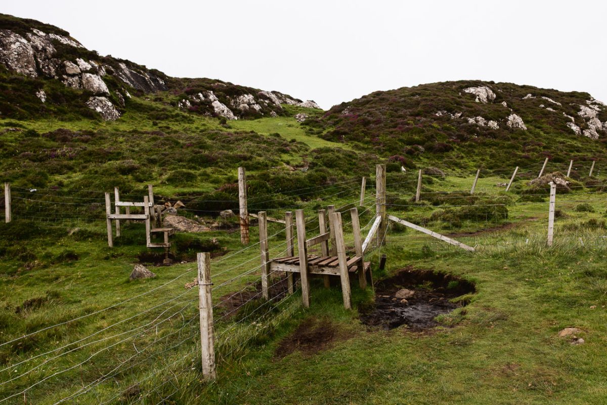
I chose to go down to Rubha Hunish first, which you’ll access at the very last gate that looks like it sits at the edge of a cliff. Yes, that’s the correct route.
Go through the walkers gate, and you’ll begin an immediate descent down to be able to access the Hunish headland. I was alarmed when I first looked past the gate, but it’s a lot more manageable than it seems.
From this point, you can look down and see a clearer path further down the cliff face. The scramble to get there is about 50 meters or so (164 feet). With careful footing, you should have no problem getting down to the established path.
Keep following the path down and you’ll eventually find footing on the headland. At this point, there are some faint trails throughout, but no dominate trail you need to find. Once here, walk around as much as you’d like, but most definitely go to the eastern coastline.
This side has some interesting rock formations, sea stacks and a natural arch to see. Enjoy those and then walk counterclockwise around the peninsula, making it to the true Rubha Hunish, and eventually making your way back to the scramble ascent.
Once you’re back up at the gate, you’ll go left to go to the bothy.
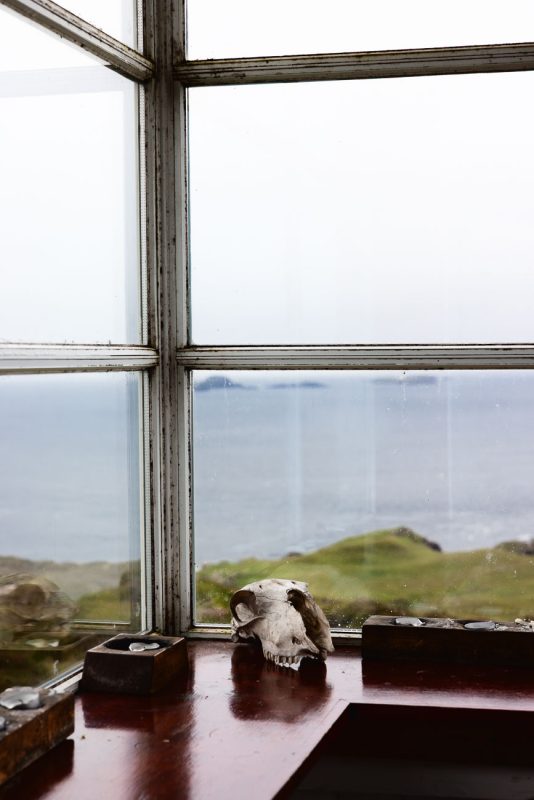
Hiking to the Rubha Hunish Bothy
From this point, it’s no more than a 15-minute walk or so to get to the bothy, so even if you’re walking all the way out to Rubha Hunish, it’s worth the small detour.
The trail from this point is very faint. I followed the trail using my Gaia GPS. I always recommend hiking with some type of offline map, but you don’t need it in order to get to the bothy safely.
Start walking east towards Meall Tuath. There is a faint path, but nothing well-established so try to follow it as best you can. You see the bothy pretty quickly, and can navigate from there.
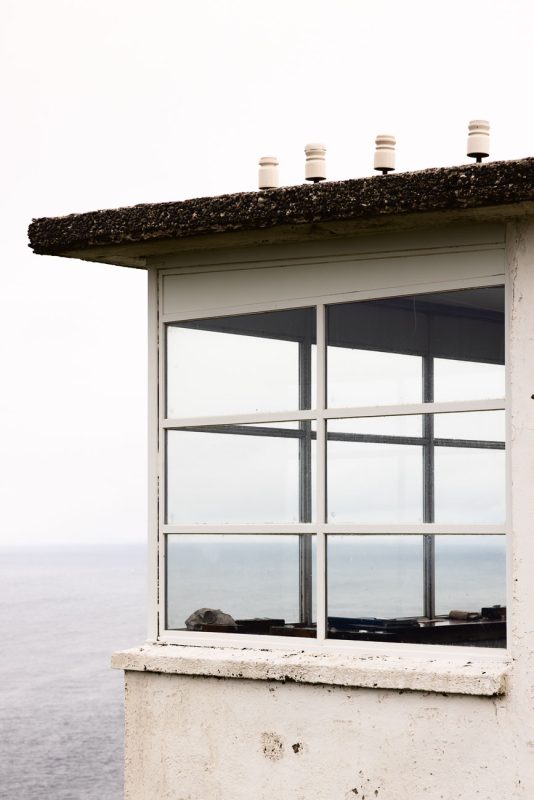
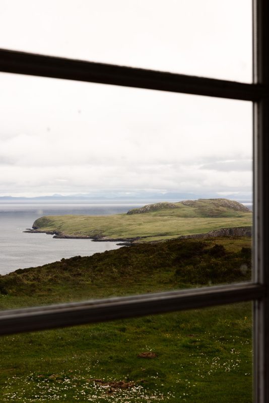
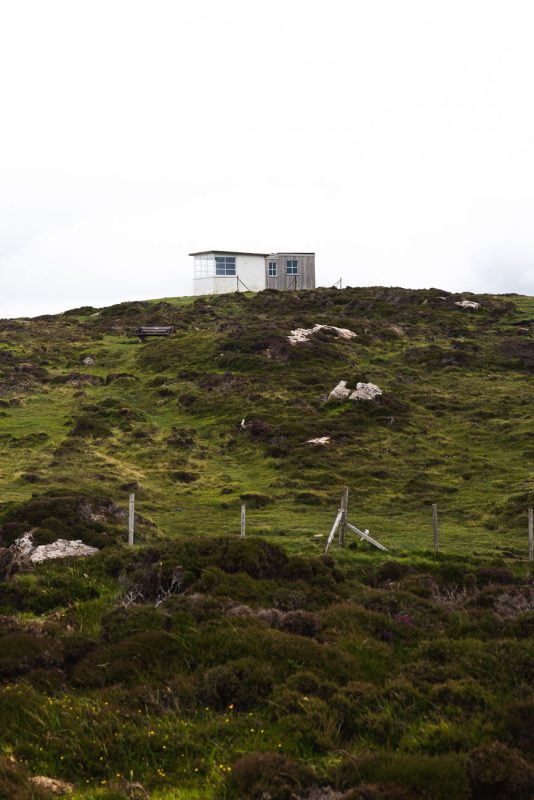
This portion can get very boggy so ensure you have the right shoes. It doesn’t take long for you to spot the white Lookout Bothy.
This building was made in the early 20th century and served as a former watch station for the coast guard until it was decommissioned in the 1970s. Now it’s been converted into a bothy and is maintained by the Mountain Bothies Association, so follow the bothy code when visiting.
Back to the car park
To make the full loop, you’ll have to walk back the way you came from the bothy back to the fences. The Lookout Bothy is a detour and not along the main route.
Once I got to the bothy, the weather was starting to go south, so instead of completing the loop trail, I walked back the way I came to get to the car park.
But if you have more time and the weather is nice, you can complete the Rubha Hunish as the full loop. This part of the trail follows the coastline you saw on your left hand side on the way up, hugging Tulm Bay and Port Erisco.
Once you’re at the top of the scramble at the series of fences, you’ll go right heading uphill to Meall Deas. At the top, you’ll have expansive views back over the Hunish Peninsula, then follow the trail round, which eventually descends and takes you past a fence.
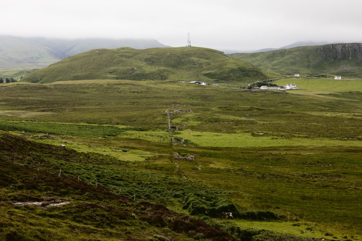
You’ll pass the historic ruins of Erisco, including a stone wall that you’ll follow heading slightly left before rounding a corner and reaching a gate in a fence. Cross through the fence and continue following the wall until you see a gate on your right hand side.
Pass through the fence and follow the track until you come upon a group of houses. You’ll pass the white coastguard cottages, which were previously the homes of the guards who manned the lookout, but are now holiday homes, and eventually find yourself at the main road.
Turn left, following the main road, and you’ll find yourself back at the car park in about 1 km (0.6 miles).
Parking at Rubha Hunish
There is a small car park at the Rubha Hunish trailhead that can fit eight or so cars.
It has its own address on Google maps (linked here), so the directions will take you straight there.
It’s free to park there and the trail is just past the cattle gate on the lefthand side. When you’re coming up the road, it’s right next to the red Shulista phone box.
You can easily miss the turn for the car park if you’re not paying attention, so when you see the red phone box, slow down because it can be a sharp turn depending on the direction you’re coming from.
More guides for your adventures on Skye
Is the Isle of Skye Worth Visiting?
Best Time To Visit the Isle of Skye
Where To Stay on the Isle of Skye
Best Things To Do On Skye
How To Get From Edinburgh to the Isle of Skye
Isle of Skye by Car, Tour, or Public Transport: Which Is Best?
Best 3-Day Tours to the Isle of Skye
The Quiraing Hiking Guide
Loch Coruisk Day Trip from Elgol
My Favorite Cafes on the Isle of Skye